Biosphere StoryMaps
To complement the Biosphere Terrestrial Atlas, HSBRIS is authoring a collection of ArcGIS StoryMaps for the biosphere region. These StoryMaps document and share the history of landscape change over time, human impacts, the restoration and recovery of local ecosystems, and identify future stewardship opportunities. These StoryMaps centre on areas defined as having unique ecological significance and/or rich biodiversity that have complex land-use histories and present opportunities for conservation, restoration and stewardship. Each StoryMap integrates key datasets and maps from the Terrestrial Atlas, presenting them alongside other relevant resources and information for the focus area.
StoryMap focus areas have unique ecological significance and/or rich biodiversity with complex land-use histories that present opportunities for restoration, remediation, and stewardship. We are currently working on a StoryMap for Furry Creek Valley.
To suggest a Focus Area for a future StoryMap, please complete our survey.
The Need
The biosphere region has an extensive history of anthropogenic effects on the environment, including resource extraction, recreation, cultural uses, conservation, and restoration efforts. Although many activities are well documented, the data and information are spread over various sources, some of which become harder to access over time. In addition, the information is often presented only in technical formats, which are not accessible to a general audience. This creates a barrier to those interested in developing a holistic understanding of the biosphere region.
These storymaps provide an educational resource on the history and environmental recovery of the region; increase local understanding of biodiversity and human impacts; identify information and knowledge gaps; and identify future restoration and stewardship opportunities within the focus areas.
Progress
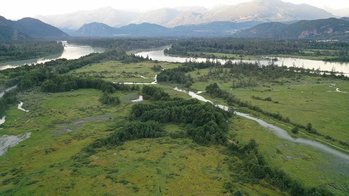
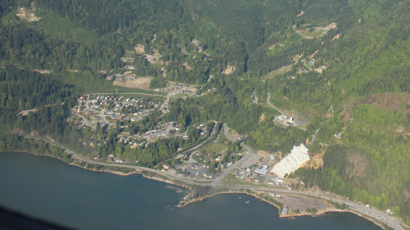
We began the first StoryMap on McNab Watershed StoryMap in August 2023, publishing it in February 2024. The second StoryMap for the Skwelwil'em Squamish Estuary Wildlife Management Area was under development soon after and was published in June 2024. One year later, in August 2025, the Britannia Watershed Storymap was published! Work began on the Furry Creek Watershed in September 2025, and research is underway for a future StoryMap on the Cedar Creek Valley.
Media: Lions Bay Watershed online news: A new look at Britannia Beach
